

 Michael Studinger/NASA
Antarctic sea ice level could reach record low in 2022, UCLA climate scientist says
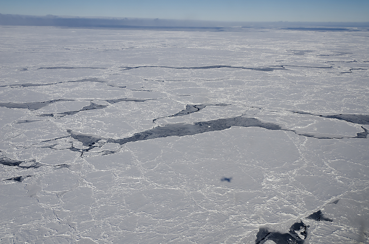
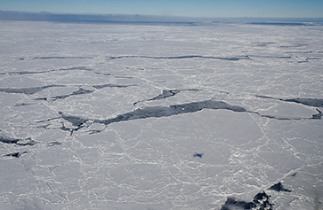
Sea ice in the Bellingshausen Sea, Antarctica, photographed from an aircraft 1,500 feet above ground. Image credit: Michael Studinger/NASA
By David Colgan
Sometime in the next few weeks, during late summer in the Southern Hemisphere, the area covered by sea ice around Antarctica will reach its annual minimum. According to UCLA climate scientist Marilyn Raphael, the measurement could set a new record low, just five years after the last record was established.
That’s because current conditions in the region are similar to those of late 2016 and early 2017, and the planet has just experienced a year of record-high ocean temperatures.
“The temperature of the ocean limits how much area the ice can cover,” said Raphael, a professor of geography and director of the UCLA Institute of the Environment and Sustainability. “The same thing happened five years ago, when warming and more exposed ocean caused earlier retreat of the ice.”
A paper co-authored by Raphael and published in the journal Nature Climate Change puts those developments in context by using historical data to determine the amount of area covered by sea ice across the entire Antarctic region, season by season, from 1905 to 2020.
Since 1979, scientists have relied on satellite imaging to track the daily extent of Antarctic sea ice, which expands dramatically during the Antarctic winter and contracts in the summer, typically reaching its minimum in mid-February. The new study, a collaboration between UCLA and Ohio University researchers, used extensive weather data, ocean data and previous research findings from locations around Antarctica to reconstruct which portions of the region were covered by ice before satellite imaging existed.
The total area covered by sea ice fluctuates each year according to the seasons. It also fluctuates in cycles of roughly five to seven years. The research also uncovered longer-term trends: The area covered by sea ice declined from 1905 to the 1960s, but since then, despite rising global temperatures, the average area per year covered by ice has increased — in stark contrast to the rapidly declining amount of sea ice in the Arctic region around the North Pole.
It will take further research to determine why these trends occurred and whether 2017’s record low signaled that global warming has begun to affect long-term patterns. But measurement of the 2022 sea ice minimum, expected between mid-February and early March, is the next critical observation point. A repeat of 2017, Raphael said, would provide further evidence that global warming may be playing a major role in this massive, complex natural system.
While previous papers reconstructed historic sea ice conditions seasonally at specific locations, doing so around the entire continent fills a critical gap in baseline information — particularly because conditions vary greatly from place to place in the region, said Mark Handcock, a UCLA statistician and co-author of the new study.
“Statistical methods can weave all the individual sources into a complete picture of the region,” he said.
Antarctic sea ice provides habitat for penguins, seals and other animals around Antarctica itself, but it also important to a range of life around the world. It plays a major role in climatic and oceanic patterns as far north as Iceland and the North Pacific Ocean.
“Antarctic sea ice helps control things like the equator-pole temperature gradient,” Raphael said, referring to the temperature difference between the equator and poles. “That gradient influences large-scale atmospheric circulation.”
Sea ice also influences thermohaline circulation, a global system of surface and deep-water ocean currents. One such current is the Gulf Stream, which is responsible for the Northeast United States’ relatively mild weather.
The scale of Antarctic sea ice is massive. At its maximum size, which typically occurs each September, the ice expands to cover about 7 million square miles — only slightly larger than the land area of South America.
The paper’s findings can be used in future studies on the underlying causes of historic sea ice changes and what to expect as climate change continues to warm the planet.
The research, funded by the National Science Foundation’s Office of Polar Programs, is expected to produce additional findings that will enable scientists to reconstruct historical models for the extent of sea ice at daily, rather than seasonal, intervals.
 Courtesy of Paula White
 Famartin/Wikimedia Commons